Ecosystem Management
Understanding Land Vulnerability with Nature-based Solutions
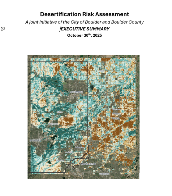
Undertaking a Desertification Risk Assessment:
Identifying Where We Will Lose Critical Ecosystems = Where Drought Renders Lands Useless
What is the Impact and What is Next?
NEED DETAILS HERE
Three years ago, NbS team began wondering if they could see ecological decline before it was visible on the ground. The goal was to provide both public and private land managers with one of the first comprehensive assessments of ecosystem conditions. So they partnered across agencies and disciplines to build a satellite-based system capable of identifying circumstances across 300 square miles, stretching along the mountain foothills to the eastern plains of Boulder County.
The purpose was not just better data but foresight.
The team set out to create an early warning system that could flag landscapes at risk of losing ecological function long before collapse. Land that can no longer support agriculture, habitat that fragments beyond repair, soil that sheds water instead of absorbing it, or biodiversity that quietly disappears.
The risks listed are no longer theoretical as climate change is intensifying drought cycles, while irrigation supplies tied to the Colorado River and other strained water sources are increasingly uncertain.
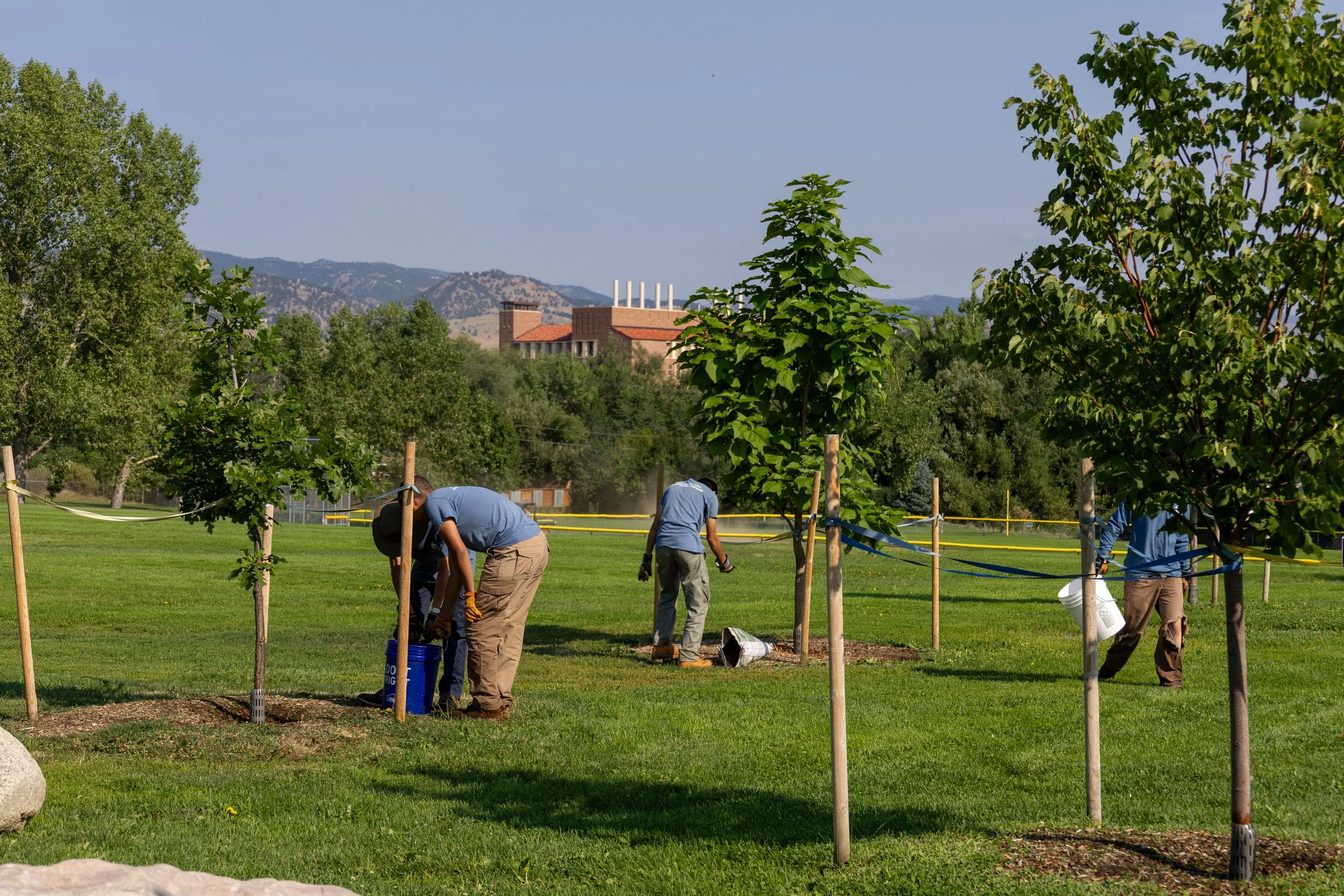
Today, the monitoring and analysis system is operational and is used by public and private land managers to assess vulnerability, track trends, and measure whether restoration strategies are working. The technology maps stress but also informs intervention.
The City and County are using the tool to rethink how they manage open space and are continuing to explore coordinated strategies that reduce degradation risk and expand regenerative land practices.
What began as a question of — can we anticipate ecosystem degradation? — has become a regional framework for preventing it.
This assessment is a joint effort between the City of Boulder and Boulder County.